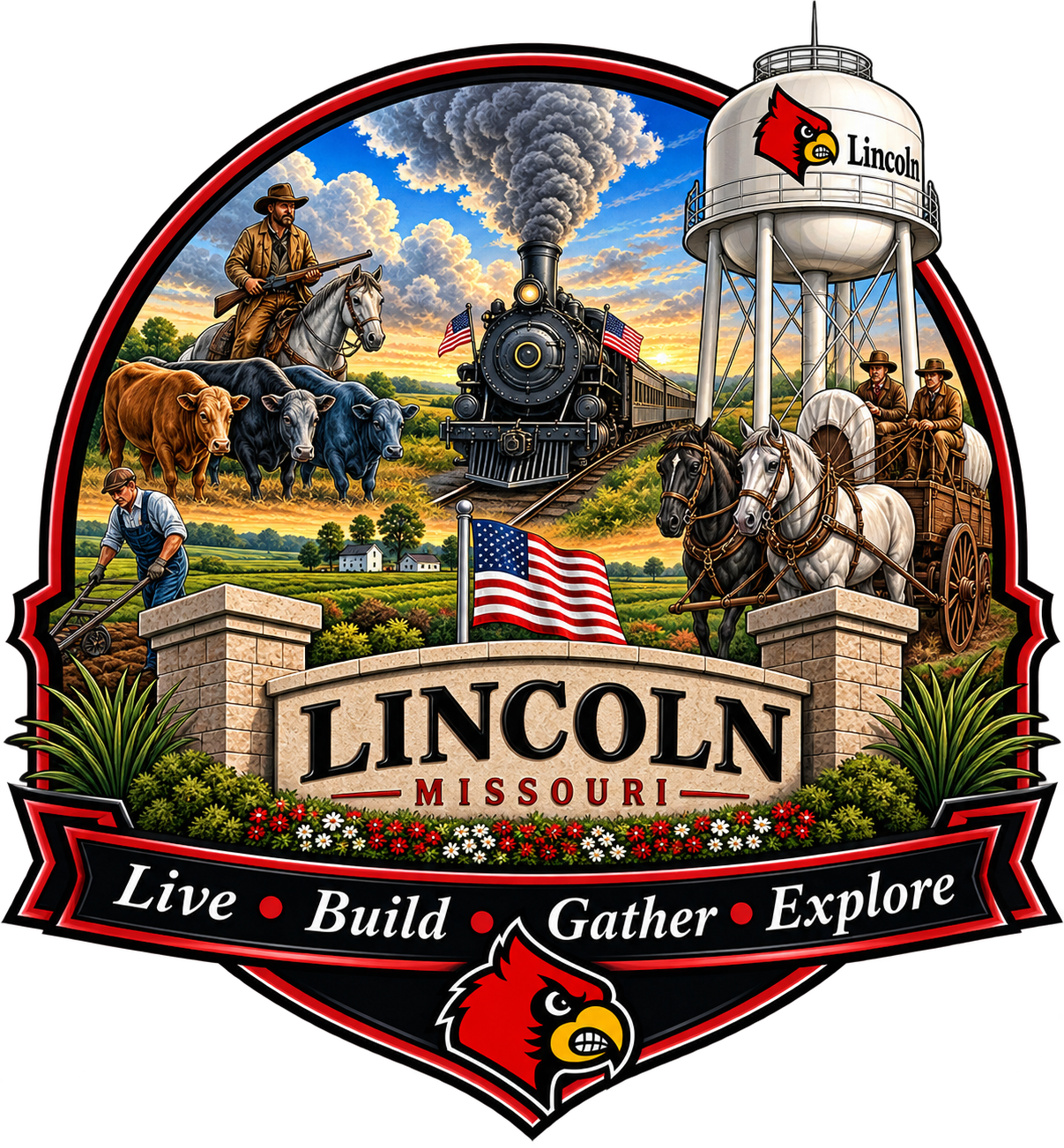
Lincoln, Missouri
Heritage

History of Lincoln

Incorporated 1869. A small town in Benton County, Missouri with more than 150 years of stories.

Sourced from local records

The area that became Lincoln was settled in the mid-1800s by pioneer families drawn to the rich farmland and clean water of central Missouri. Early settlers included Wiley Vincent, August Jaekel, Fred Boehmer, and Martin V. Athey, whose families helped shape the young community.

The Town of Lincoln was formally incorporated in 1869. In 1881 a railroad survey was completed through the area, opening Lincoln up to trade and travel and setting the stage for decades of steady growth. The first public school opened in 1889, and by the 1890s Lincoln had a school building, a hotel, and a growing Main Street.

Through the 1900s Lincoln developed the character residents know today — a working farm town anchored by City Hall, the school, and small family businesses along Main Street and Highway 65. The community's water tower, MFA elevator, and Cardinals athletics have all become landmarks passed from one generation to the next.

Today Lincoln remains a close-knit town of roughly 1,190 residents in Benton County. City Hall, the Lincoln R-II School District, the Lincoln Municipal Airport, and the annual Mozarkite Society Rock Swap continue the same tradition of neighbors taking care of neighbors that began more than 150 years ago.

Historical narrative adapted from the 125th Anniversary of Lincoln History book, 1995, by Florence Ransdell.

From the archive

Lincoln, then

Photographs of the depot, the storefronts, the lunch counter and the people who kept them running — restored from prints held in the City Hall collection.

The Lincoln Depot

The Missouri Pacific depot — Sedalia 30 miles one way, Nasan 12 the other. The railroad put Lincoln on the map after the 1881 survey. Photograph donated by Kenneth Bird.

Restored and enhanced using AI. Some details may be slightly altered — to view the originals, please visit Lincoln City Hall.

Section crew & hand car

Wells Fargo & Co. Express and the ticket office, with the section crew and their hand car.

Restored and enhanced using AI. Some details may be slightly altered — to view the originals, please visit Lincoln City Hall.

Boardwalk on Main

Merchants, mail carriers and neighbors gathered on the boardwalk outside a Main Street store.

Restored and enhanced using AI. Some details may be slightly altered — to view the originals, please visit Lincoln City Hall.

Brill & Wisdom Store

One of Lincoln's early brick corner stores, back when Main Street was still dirt.

Restored and enhanced using AI. Some details may be slightly altered — to view the originals, please visit Lincoln City Hall.

Inside the general store

Leota (Kolb) Fischer, Laurence (Si) Henry and Vernie Atwood behind the counters.

Restored and enhanced using AI. Some details may be slightly altered — to view the originals, please visit Lincoln City Hall.

The soda fountain

Ham sandwich a quarter, pie fifteen cents — the lunch counter downtown.

Restored and enhanced using AI. Some details may be slightly altered — to view the originals, please visit Lincoln City Hall.

The filling station

Visible-glass pumps, tire service, and a stake-bed truck pulled under the canopy.

Restored and enhanced using AI. Some details may be slightly altered — to view the originals, please visit Lincoln City Hall.

Rural mail route

Before rural roads were graded, the mail rode out of Lincoln on horseback.

Restored and enhanced using AI. Some details may be slightly altered — to view the originals, please visit Lincoln City Hall.

The feed store dock

Sacks of feed loaded onto the dray wagon, teams hitched and waiting at the dock.

Restored and enhanced using AI. Some details may be slightly altered — to view the originals, please visit Lincoln City Hall.

Skelly Gasoline

Three pumps, a tire shop and a nickel Coca-Cola cooler out on the highway edge of town.

Restored and enhanced using AI. Some details may be slightly altered — to view the originals, please visit Lincoln City Hall.

Sinclair Incline

The Incline from the air — station, cafe and tourist court where the highway bends.

Restored and enhanced using AI. Some details may be slightly altered — to view the originals, please visit Lincoln City Hall.

Missouri State Fair Parade, 1954

The Lincoln High School band and majorettes on the steps before the State Fair parade — names of all five rows are printed on the original print.

Restored and enhanced using AI. Some details may be slightly altered — to view the originals, please visit Lincoln City Hall.

About these images: the archival photographs on this page have been restored and updated using AI. Some images may be slightly altered from the original prints. To view the originals, please visit Lincoln City Hall.

Landmarks & archival photos

Places that shaped Lincoln

Present-day photographs of the places that carry Lincoln's story. Archival images — including the MFA elevator, the Gill Hotel, and the 1951 water tower — are preserved at City Hall and are being scanned for the web.

Main Street, downtown Lincoln
Main St. & Cardinal Dr.
U.S. Post Office · 65338
Old Pump Memorial
Lincoln R-II School
Mike Hare Memorial Ball Field
Lincoln Community Fire District
Lake on Timberline Drive
In the City Hall archive
  • MFA Elevator
  • Atwood and Henry Store (1950s)
  • Highway Café (1940s)
  • Brill and Wisdom Store
  • Lincoln High School Band (1954)
  • Water Tower (1951–2006)
  • Gill Hotel (built 1892)
  • Lincoln High School (1894)
  • Airport Grant Officials
  • Old Gas Station